
Sources for Norman Neighbors Around a Block
A block-level search uses records that describe land, map position, and community context. Start by locating the subject parcel. Then inspect the adjacent parcel polygons and compare the legal descriptions or plat references. The County Clerk's index can supply instrument leads, while City permits may supply project context. These are separate records. A neighboring polygon, a deed party, and a permit contact should never be merged into one claim about who lives at an address.
| Source | What it shows about a block | Access |
|---|---|---|
| City property locate | Street-address or geonumber starting point, with Property and Map tabs | Free public portal; result schema and coverage date not located |
| County Assessor | Owner or taxpayer lead, physical and mailing address, parcel and valuation context | Owner, physical-address, and parcel-map search; office assistance |
| Cleveland County GIS | Parcel polygon, street label, legal-description context, subdivision, lot, and block | Public parcel layer; reference mapping, not title proof |
| County Clerk index | Grantor, grantee, filing date, instrument type, legal description, and deed references | Free index; underlying instrument through the Clerk |
| City permits | Address, parcel, project, applicant, permit, inspection, and plan status | CityView search; project role is not an occupancy record |
| Neighborhood sources | Planning labels, voluntary association context, and historic-district vocabulary | City CDBG, planning, OHS, library, and archive routes |
County GIS says its current system provides a parcel layer and that more layers are planned. It does not claim to be a complete utility, zoning, occupancy, or historical-address database.
Locate a Norman Neighbor Block
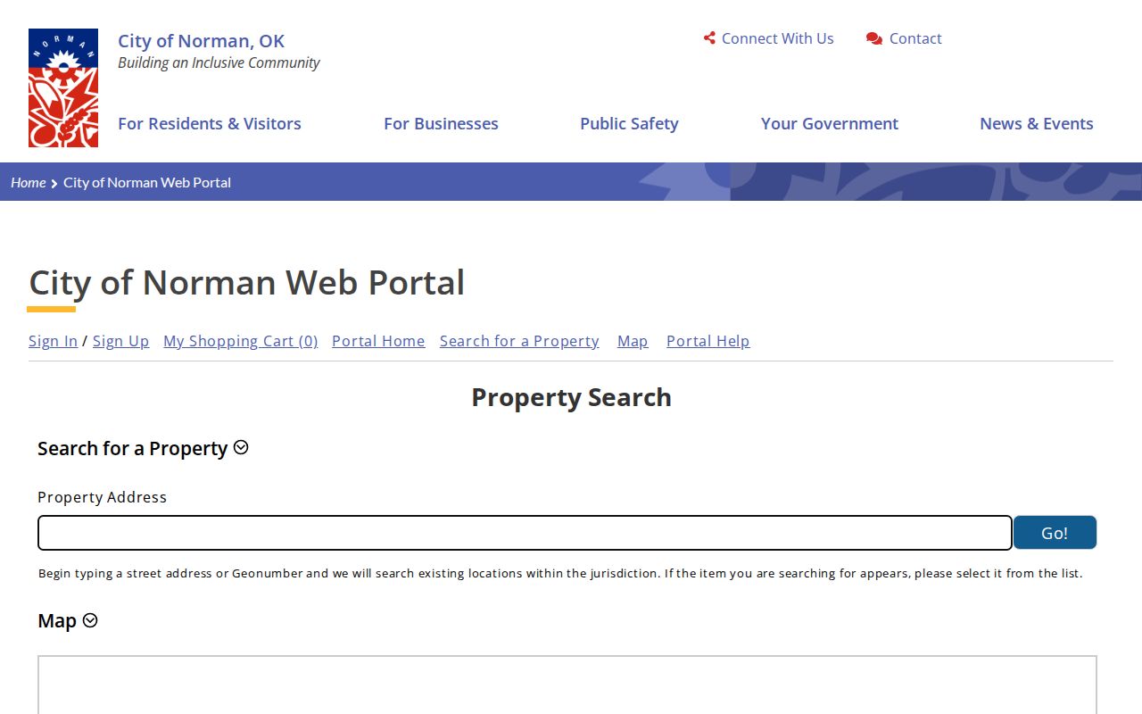
Use Norman City property locate to start with a street address or geonumber. The inspected page exposes Property and Map tabs, but the complete result-card fields and publication date were not found in official sources. Check the same location in the Cleveland County Assessor search and record the displayed situs address, parcel or geonumber, legal description, tax year, and mailing address only where the portal actually displays them.
The City route is shown below. It can identify a property lead for a Norman neighbors search, but a City property result does not replace the County Clerk's recorded instrument.
Next, compare the location with County GIS. If the parcel number, street address, or legal description does not line up, mark the mismatch and check for a split, combination, replat, readdressing, or older instrument before drawing any conclusion.
Note: Norman's exact E911 addressing rule and readdressing-history dataset were not located in official sources reviewed for this project.
Map Norman Neighbors by Parcel Adjacency
Adjacent parcels are the clearest official definition of a nearby block relationship. The process begins with the address, moves through parcel boundaries, and ends with a verified instrument where a legal relationship matters. Save every identifier before moving to the next parcel, because a street string can be changed, abbreviated, or shared by multiple lots.
- Search the exact address in City property locate and the Assessor portal, then retain the parcel or geonumber and legal description shown.
- Open the parcel in Cleveland County GIS and inspect the visible parcel polygon, adjacent polygons, street label, and subdivision or lot-and-block context.
- Write down each adjacent parcel ID and legal description, keeping a separate note for each side of the block.
- Search the County Clerk by subdivision, lot, block, current owner, grantor, or grantee, using a narrow date window when the date is known.
- Compare the returned instrument's legal description to the map and request the office copy when the document controls the question.
The Clerk index is reference material and warns that data or images can be inaccurate or outdated. The actual document is available for viewing or copying at the Cleveland County Clerk office. Online coverage beginning and end dates were not located, so an older gap may require an office or archive request.
Norman GIS Terms for Neighbor Research
Map vocabulary helps distinguish a physical relationship from a personal one. The County describes legal descriptions that can use township, range, and section; metes and bounds; coordinates; recorded plats; or lot, block, and subdivision. The map may show a parcel polygon and adjoining polygons, but it cannot establish a social relationship, a current household, or a complete history of an address.
- Parcel
- A mapped land unit used for assessment and geographic reference. A parcel number can change after a split, merge, or replat.
- Legal description
- The land description used in recorded instruments. It is more durable than a street address when a location changes form.
- Plat
- A recorded map of a subdivision or addition that can show lot and block structure.
- Situs address
- The physical location of a parcel. It can differ from a tax mailing address.
- Adjacent parcel
- A parcel sharing a mapped boundary or immediate map relationship. It is not a statement about social neighbors.
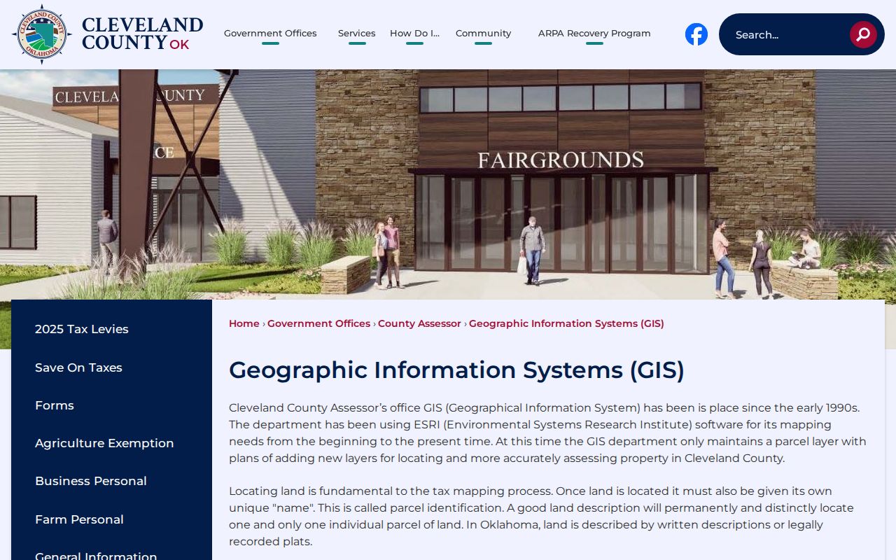
The Cleveland County GIS description is shown below. The County says GIS began in the early 1990s and has used ESRI from the start; the current parcel-layer date was not stated.
When a boundary seems unusual, compare the map with a subdivision plat and recorded instrument. A map screenshot alone is not enough for a title or boundary conclusion.
Norman Neighborhood Associations and Context
Association and planning pages add local geography without becoming a list of people. The City describes a Core Area roughly between Robinson Street, 12th Avenue E., Imhoff Road, and Berry Road, with about 16 core neighborhoods. CDBG pages also name Original Townsite, University, Larsh-Miller, Andrews Park, Adams, and Faculty Heights. These are useful research terms. They are not legal parcel boundaries and should be checked against the subject address.
| Original Townsite | City page describes 1889 plat context and a voluntary organization focused on connection and advocacy. |
|---|---|
| First Courthouse | Published boundary description, a 1974 organization date, and a documented courthouse-location dispute. |
| Old Silk Stocking | Named in the City's Stronger Norman Initiative and neighborhood program materials. |
| Miller Historic District | Historic District Commission context, approximately 148 structures, and the 1903 Classen-Miller plat background. |
| Southridge | Historic tour area with National Register context. |
The City and CDBG neighborhood-association directory is shown below. It is a reliable starting point for an association or planning label, while the subject parcel still needs to be verified through GIS and City records.
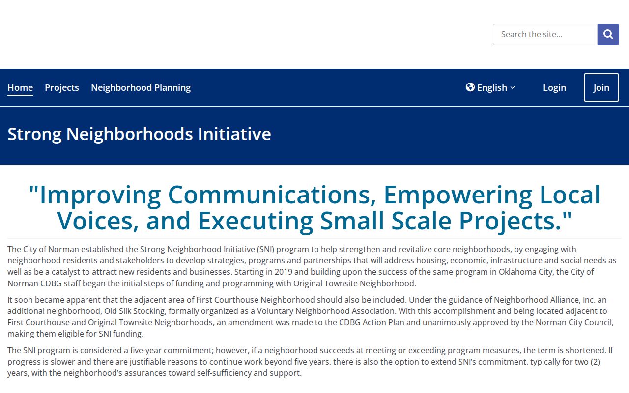
The City says the Stronger Norman Initiative began with Original Townsite in 2019 and later included First Courthouse and Old Silk Stocking with Neighborhood Alliance support. Treat a voluntary association as community context, not as an official parcel record.
Historic Norman Neighbors Around an Address
For a past block, use a dated source for each step. OHS lists Norman Sanborn map years of 1894, 1896, 1898, 1901, 1904, 1908, 1914, 1918, 1925, and 1944. The 1914 Library of Congress map set has 13 sheets and can show building footprints, use, material, street context, and nearby businesses. It cannot name every occupant.
Pair a Sanborn sheet with a directory, Norman Transcript item, deed, or OHS neighborhood survey. Directory publication dates matter. A person listed at a nearby address in an annual directory is a dated listing, not proof of presence on every day of that year. The Norman Transcript's 1889-1917 scans can be searched by address, likely owner, business, street spelling, or local institution, but the original scan should be checked for OCR errors.
The 1941 Norman telephone directory is not a criss-cross directory. Use it for name-to-phone or address context only, and ask a library or archive whether an address-ordered volume exists for the needed year.
Norman Neighbor Records Compared
Official record tools and commercial neighbor-search categories answer different questions. The first group identifies a custodian, record type, date, and access limit. The second may be convenient, but its source date, merging rules, and coverage are often unclear. For a block question, use the official parcel and instrument trail first, then treat any other category only as a prompt to verify with the custodian.
| Category | Useful for | Important limit |
|---|---|---|
| Official parcel, GIS, and deed records | Parcel relationship, legal description, and recorded-party trail | Owner, taxpayer, or mailing data does not prove current occupancy |
| City permit and planning records | Project, address, neighborhood, and historic context | Applicant or complaint role must be labeled exactly as shown |
| Commercial neighbor-search category | A possible clue to investigate | May be stale, incomplete, or unsupported by a named custodian |
A current address and a complete household are separate questions. Never fill an official-source gap with an unverified name list.
Norman Neighbor Geography Limits
Voter records can supply limited precinct and registration context, but the Oklahoma route does not create a public block directory. The Cleveland County Election Board keeps local registration records and voter-list requests. Its form says precinct lists reflect address and party, yet access is limited to qualifying requesters and stated lawful uses. The State also protects specified voter classes and keeps driver-license and Social Security information out of public data.
Use precinct information as geographic context only. Do not publish a list of names tied to a block, and do not infer that a protected or missing record settles whether someone is a Norman neighbor. The Oklahoma Address Confidentiality Program is a separate safety process and its substitute-address records must not be bypassed.
Note: A precinct, a neighborhood label, and an adjacent parcel describe different geographies and should be kept distinct in the research log.
Privacy for Norman Neighbor Research
Oklahoma's Open Records Act, 51 O.S. §§24A.1-24A.33, directs a request to the office that holds the record. Cleveland County routes property and valuation questions to the Assessor, land records to the County Clerk, court records to the Court Clerk, and voter data to the Election Board. For an uncertain parcel relationship, ask the relevant custodian for the defined record rather than trying to combine unrelated databases into a person list.
A map neighbor is an adjacent parcel. A same-block address, a shared precinct, and a neighborhood association member are different categories. State the category that the source actually supports, and stop when a record is restricted or a result cannot be verified.