
Norman Postal Codes in the Directory
Norman is served by more than one postal code. The table uses only the cautious descriptions supported by the research: an address-level USPS result remains the verification step. It does not assign neighborhoods to codes where the official sources did not publish a complete city-to-neighborhood table, and it does not treat nearby postal areas as incorporated Norman.
| ZIP | Areas covered in the record guide | Post office information | Research note |
|---|---|---|---|
| 73019 | Norman-area code associated with OU and city context | Specific station not identified in the sources used | Confirm the individual delivery address with USPS |
| 73026 | Norman-area code in Census and archived USPS context | Specific station not identified in the sources used | County-edge or rural delivery can differ |
| 73069 | Central Norman postal city context | W. Gray Post Office, 129 W. Gray, Norman, 73069-9998 | Verify a delivery address rather than infer a neighborhood |
| 73070 | Norman-area code in Census and local search context | Specific station not identified in the sources used | Use an address-level USPS result |
| 73071 | Norman-area code; the County Election Board uses this postal code | Specific station not identified in the sources used | Postal use does not establish a voter-record result |
| 73072 | Norman-area code | Sooner Station, 200 36th Avenue NW, Norman, 73072-9998 | Use the current postal tool for a delivery check |
| 73068, 73160, 74857 | Adjacent or broader search-result postal areas | Not listed as Norman stations here | Do not presume they are incorporated Norman codes |
The City, Census, and postal systems do not publish the same boundary type. The official research did not find ZIP splits, realignment dates, or a complete ZIP-to-neighborhood inventory for Norman. That is a real gap, not evidence that every address shares one postal geography.
Note: Treat a ZIP as a postal routing result, then confirm the location with the custodian whose records you are using.
Start Norman Postal Research With USPS
The USPS ZIP Lookup is the primary online route to test a delivery address. It offers By Address, By City/State, and Cities by ZIP modes. In address mode, the form includes company, required street address, apartment or suite, city, state, and optional ZIP. City/state mode accepts city and state, while the ZIP-to-city mode accepts a ZIP.
| USPS lookup mode | Captured fields | Useful result | What it cannot prove |
|---|---|---|---|
| By Address | Company, street, apartment or suite, city, state, optional ZIP | Standardized postal delivery result | That a particular person or organization is at the address |
| By City/State | City and state | Postal-city lookup lead | A precise city-limit or parcel boundary |
| Cities by ZIP | ZIP | Postal-city association | Every address or neighborhood within the code |
USPS warns that a lookup result does not confirm that a person or company is at an address. It is therefore a good first postal check, but it should never stand in for an Assessor parcel, a recorded instrument, or an Election Board record.
Find Norman Records After a Postal Check
No official source inspected for this project documented a ZIP-wide browse in the Assessor, City property, City permit, County Clerk, or GIS tools. The proper workflow uses a confirmed postal address to enter those address or parcel fields rather than claiming that a ZIP alone returns all records in the area.
- Confirm the street, unit, city, state, and postal code with the USPS address mode.
- Search Norman Property Locate by street address or geonumber and retain the displayed property identifier.
- Check the Cleveland County Assessor by physical address, owner name, or parcel map, and compare situs with mailing information.
- Use County GIS to read the parcel, legal description, subdivision, lot, block, and visible adjacent parcels.
- Search the County Clerk index by the owner, legal-description clues, subdivision, or a narrow date range when an instrument is needed.
The Norman Property Locate screen accepts street address or geonumber and exposes Property and Map tabs. It is a free public cross-check; its exact result schema and coverage dates were not located in official sources.
This source capture shows the address-level starting point used after a ZIP has been confirmed: Norman City property lookup.
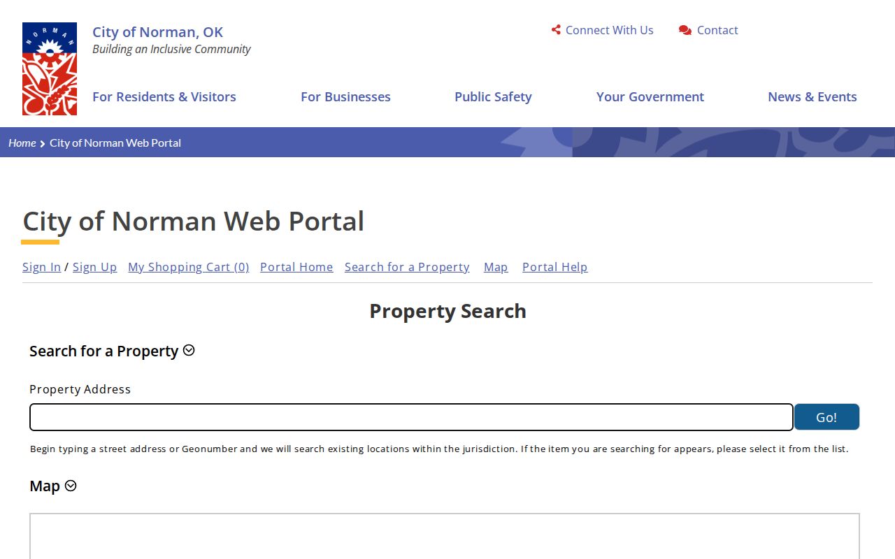
The displayed property or map identifier can be carried into county parcel and instrument research without treating the ZIP as a parcel number.
Norman ZIP Boundaries and City Limits
ZIPs are not city boundaries. Census ZIP Code Tabulation Areas, called ZCTAs, are generalized areas built from Census blocks around point-based ZIPs. The Census notes that a ZCTA can be noncontiguous, include enclaves, omit some valid codes, and differ from postal delivery boundaries. A Norman postal address can therefore require a different city-limit or parcel check.
For delivery, use USPS. For a statistical map, use the Census explanation of ZCTAs. For municipal placement, use City or County map material. This distinction keeps a postal code from being overstated as proof that an address is in Norman, in a particular neighborhood, or inside the same records jurisdiction.
- ZIP
- A postal routing code. It is not a municipal boundary and does not identify a particular resident.
- ZIP+4
- An additional four digits that refine delivery routing after the five-digit ZIP. It does not replace an address or parcel identifier.
- PO box ZIP
- A code used for postal boxes. It does not show the physical location of a recipient.
- Unique ZIP
- A code assigned for a single organization or delivery arrangement. No such Norman assignment is claimed here without USPS confirmation.
- Carrier route
- A mail-delivery grouping used by the Postal Service. It is not a city-limit, ownership, or occupancy boundary.
Norman ZIP Parcel Context
Once the individual address is verified, the County Assessor and GIS add the local parcel layer. The Assessor documents owner-name, physical-address, and parcel-map searches; the County GIS describes parcel data and legal descriptions such as township/range/section, metes and bounds, coordinates, recorded plats, and lot/block/subdivision forms. A single street number is not always enough for older or replatted property.
The Cleveland County Assessor portal does not document a ZIP filter, and its current coverage dates and complete result fields were not published in the research. Its office is at 201 S. Jones Avenue, Suite 120, and can help with insufficient online information at 405-366-0230. The County GIS is a map reference layer, while the County Clerk’s instrument is the title-history source.
This image records the county address-and-parcel search gateway used in a Norman postal workflow: Cleveland County Assessor search.
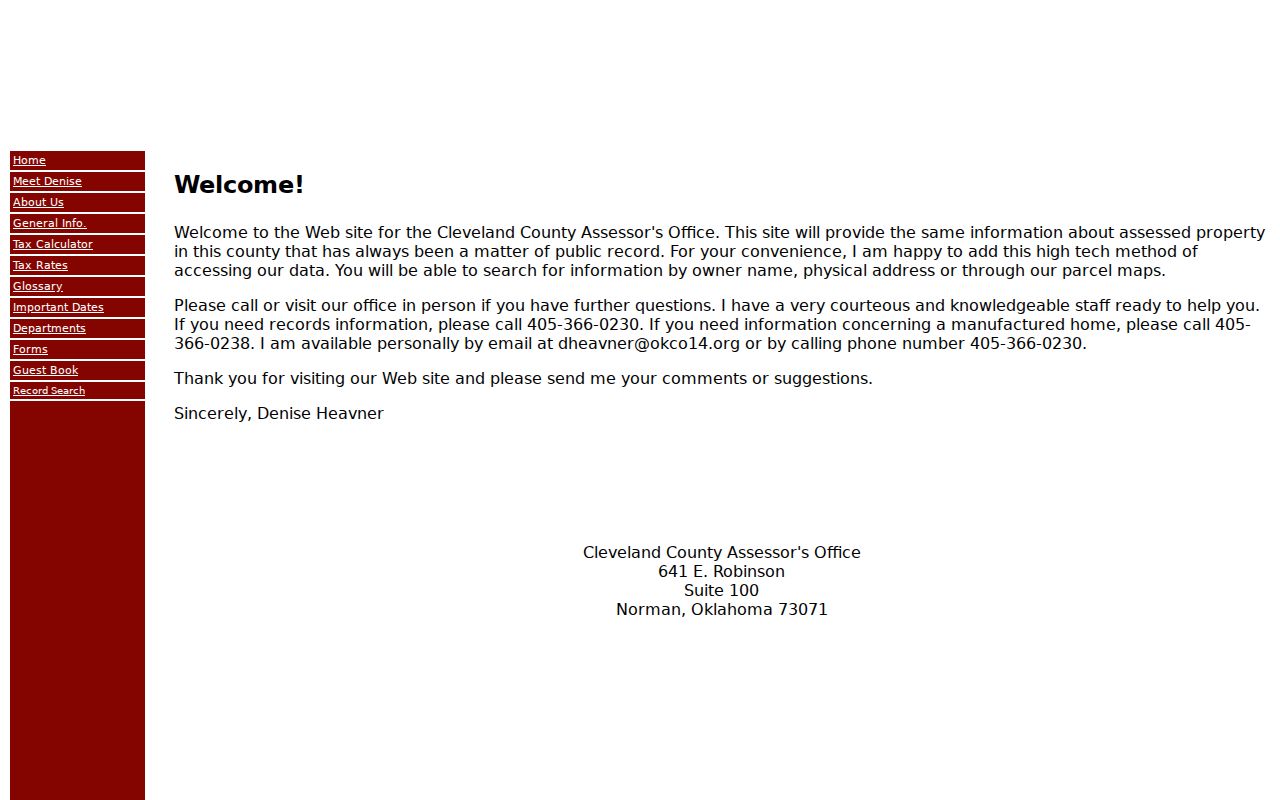
Use a postal result to locate the address, then preserve the parcel and legal-description details before checking deeds, plats, or tax questions.
Norman ZIP Permit Results
City permits offer a different date and role layer after an address is known. Norman Development Services searches by application number, address, parcel number, or name. The project display can include Status Detail, Application Fees, Permit Status, Inspection Status, Plan Tracking, and Project Inspections. Its start year and complete online retention rules were not located.
A permit record can name an applicant, contractor, owner, or project contact, depending on what the result actually says. It does not establish a household. For a file or portal issue, use Development Services at 405-366-5339 or Development.Services@NormanOK.gov. Code Compliance has an address complaint and case route at 405-366-5332, but its live fields are not documented here.
Note: A postal code can help check the address format, but address or parcel fields, not ZIP-wide claims, are the documented City permit routes.
Norman ZIP Voter Limits
Oklahoma voter data is not a ZIP directory. The Oklahoma Voter Portal offers registration-update, sample-ballot, polling-place, and absentee functions and requires date of birth according to the State. Live portal search fields were not captured during research, so no ZIP search capability is claimed. The State identifies the portal, its Election Data Warehouse, and county or State Election Board contact as separate channels.
The Cleveland County Election Board is at 641 E. Robinson, Norman, 73071, and can be reached at 405-366-0210. Its voter-list form says public precinct lists reflect address and party but are limited to qualified requesters under 26 O.S. §7-103.2. Driver-license and Social Security information are not public, and protected voter programs can omit or restrict records.
That access framework makes a ZIP a poor way to infer who lives in a postal area. It is especially important not to reconstruct a protected person’s address from partial public records.
Norman ZIP History Needs Dated Sources
Historic postal claims need a source from the right date. The archived USPS DMM context in the research identifies Norman 73026, 73069, and 73071, but it is not a current complete list. The project found no official historical ZIP run, realignment date, or full postal-boundary archive for Norman, so it does not assign an old home to a current code.
For a dated house or street question, turn to the Oklahoma Historical Society home-history guide, the Norman Transcript run in Gateway, city directories, deeds, and Norman Sanborn maps. Those sources can identify a street form and building context in the relevant year. They cannot be converted into a postal-code history without a dated postal source.
When a confirmed ZIP narrows the search to a street, the Norman Street Directory provides the address-to-parcel and deed workflow.
Norman ZIP Requests and Gaps
Ask for an existing record from the office that keeps it. Cleveland County directs valuation matters to the Assessor, land records to the County Clerk, court material to the Court Clerk, and voter data to the Election Board. Its Open Records Requests page supplies the county request channel for material outside those specialized routes; costs may be assessed under 51 O.S. §24A.5.
The City has its own online records request route, and the Oklahoma Open Records Act, 51 O.S. §§24A.1-24A.33, covers existing public records subject to exemptions and costs. Neither channel requires a custodian to create a ZIP-wide resident report. Statewide requests belong with the state custodian, not the City or County by default.
Boundary check. A Norman mailing address, a Census ZCTA, a county parcel, and an incorporated-city location can differ. Confirm each one with the relevant official source before treating it as the same geography.