
Trace Norman Street Records by Address
For a current Norman address, keep the street form, directional, unit if any, and every identifier returned by the City and county tools. The useful trail moves from an address to a parcel, then to the legal description and recorded instruments. It can also point to a qualified voter-record request or an older directory, but those are separate evidence types and must not be treated as a live household list.
- Search the City property tool by street address or geonumber, then save the displayed identifier and map context.
- Use the Cleveland County Assessor’s physical-address, owner-name, or parcel-map search to compare situs, taxpayer, and mailing information.
- Open the County GIS parcel layer to note the parcel polygon, subdivision, lot, block, and immediately adjacent parcels.
- Search the County Clerk index by owner, grantor, grantee, subdivision, and a narrow date window, then inspect the underlying instrument at the Clerk’s office.
- For an older household question, pair a dated directory or newspaper result with a deed, map, or census record from the same period.
That sequence separates a recorded ownership lead from an occupancy claim. The City property locate portal is a free cross-check, while the County Clerk keeps the legal instruments that support a title-history question.
Note: Keep a research log with the address form, date searched, portal, displayed parcel identifier, and instrument number so a later correction can be traced.
Norman Street Parcel Search Fields
The County Assessor documents three ways into its portal: owner name, physical address, and parcel map. Required-field rules, unit handling, result-card fields, and published coverage dates were not located in official sources, so an empty result should not be read as proof that no parcel exists. The City tool adds address or geonumber autocomplete and Property and Map tabs.
| Portal and field | Input type | Documented use | Limits recorded |
|---|---|---|---|
| Cleveland County Assessor: owner name | Text | Find a parcel-owner or taxpayer lead | Requiredness and exact output fields not stated |
| Cleveland County Assessor: physical address | Text | Find a situs-address parcel lead | Unit format and online coverage not stated |
| Cleveland County Assessor: parcel map | Map or identifier | Move from parcel location to the parcel record | Identifier format not stated |
| Norman City property: street address or geonumber | Autocomplete text | Open Property or Map context | Address is required; result schema not published |
| Cleveland County GIS: parcel polygon | Map browse and click | Read parcel, legal-description, and adjacent-parcel context | Current layer date not stated |
The Assessor search portal is an address and owner lead, not a deed registry. The Assessor office at 201 S. Jones Avenue, Suite 120, maintains about 115,000 parcels and asks users to call or visit when the online result is not enough. Its direct number is 405-366-0230.
The attached capture shows the entry point used for this Norman Assessor step: Cleveland County Assessor search.
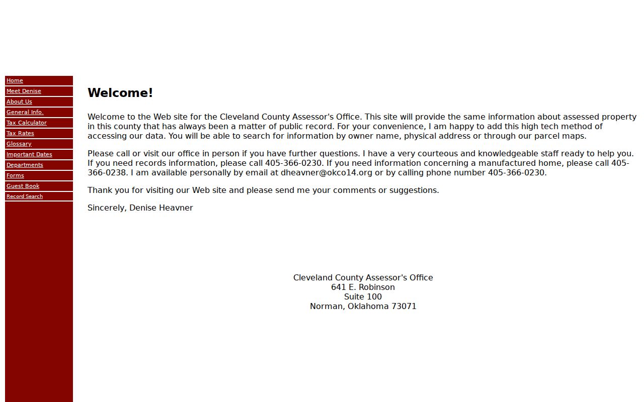
Use its three documented modes as alternate routes to the same parcel lead, then preserve the legal description for the next search.
Norman Street Records at an Address
Different offices index the same Norman address for different reasons. The following coverage table is a record map, not a roster of residents. The County Clerk’s online index is free to search, but its stated disclaimer calls the data reference material and directs users to actual documents at the office.
| Address-keyed source | Custodian | What the record can show | Access path |
|---|---|---|---|
| Assessor parcel card | Cleveland County Assessor | Owner or taxpayer lead, situs, mailing address, parcel, legal description, valuation, and exemptions where displayed | Owner, physical-address, or parcel-map portal; office help at 405-366-0230 |
| County GIS parcel layer | Cleveland County GIS | Parcel polygon, lot, block, subdivision, and adjacent parcels | Online map browse; reference layer only |
| Recorded instruments | Cleveland County Clerk | Grantor, grantee, filing date, instrument type, legal description, and deed references | Name, Document Information, and Subdivision searches; document viewing or copies at the Clerk |
| City permit record | Norman Development Services | Application, address, parcel, named project role, permit and inspection status | Address, parcel, name, or application search; 405-366-5339 |
| Historical directory or map | OHS, Pioneer, OU, or local history sources | Dated name-to-address clues or building and street context | Research-center, library, archive, or online collection route |
| Voter-list request | Cleveland County Election Board | Qualified public registration and precinct fields, subject to restrictions | Statutory request route, not an unrestricted address list |
A parcel number can help align map and tax material, while a legal description is the safer link to a deed. The County GIS describes survey, metes-and-bounds, coordinate, recorded-plat, and lot/block/subdivision forms of legal description. The Clerk’s instrument controls the title trail.
Norman Street Address Roles
A street string is not a universal key in Norman. A permit may be indexed by address or parcel; an instrument is tied to its legal description and recording details; a tax record may show a separate mailing address. When a lot has been split, merged, replatted, annexed, or readdressed, compare the plat and legal description before carrying a name from one record to another.
- Parcel
- A taxed unit of land shown in county assessment and mapping work. It is useful for cross-checking, but its number can change when property is combined or divided.
- Situs address
- The physical location used to identify the property. It may differ from the address used to receive tax mail.
- Plat
- A recorded plan that can identify a subdivision, lot, block, streets, and other legal-description context.
- Criss-cross directory
- A reverse address-to-name reference volume. The documented Norman runs are not complete, and the 1941 telephone directory is specifically not one.
The local research did not locate an official street-renumbering history, E911 crosswalk, or fixed quadrant rule. Preserve old street spellings and directional forms, including spelled-out numbered streets, and ask City Planning, Development Services, or County GIS before asserting that an earlier address converted to a particular current number.
Note: A mailing address identifies the recipient of tax correspondence and does not by itself establish where that person physically lives.
Norman Street Map Context
Cleveland County GIS began in the early 1990s and currently describes a parcel layer with additional layers planned. Use visible parcel navigation to inspect boundaries and adjacent parcels. The official page did not document a distinct buffer or measuring tool, so do not claim a radius search that the viewer does not show.
The County map source for this Norman street research is Cleveland County GIS.
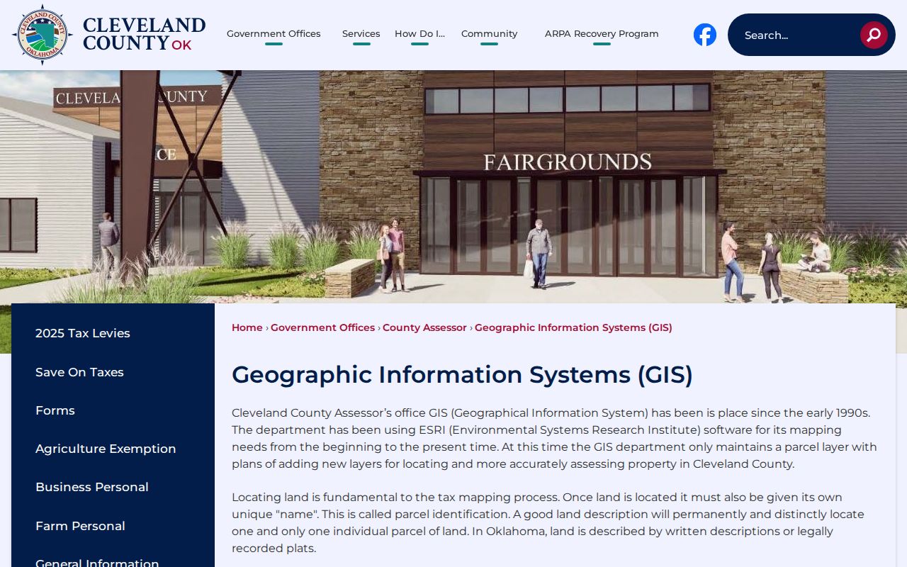
Map placement helps identify a parcel relationship, but it does not prove an occupant, ownership status, zoning conclusion, or a historical address match.
City maps and open-data layers can add planning or historic-district context. Their general-reference disclaimer matters: treat a planning label, postal boundary, city limit, and parcel boundary as distinct geographies rather than as interchangeable street facts.
Norman Street Permit Searches
Norman Development Services gives an address trail a dated project layer. Its permit and inspection search accepts application number, address, parcel number, or name, with Begins with and Contains options for name searching. A result can display project information, Status Detail, Application Fees, Permit Status, Inspection Status, Plan Tracking, and Project Inspections.
That record identifies the role printed in the result, such as applicant, contractor, owner, or project contact. It is not an occupancy record. Ask Development Services through its online route or at 405-366-5339 and Development.Services@NormanOK.gov when an older file or status detail is needed. Code Compliance provides an additional address complaint or case lead at 405-366-5332, but its live fields and retention period were not located.
The City entry screen used to start this by-address search is available through Norman Property Locate.
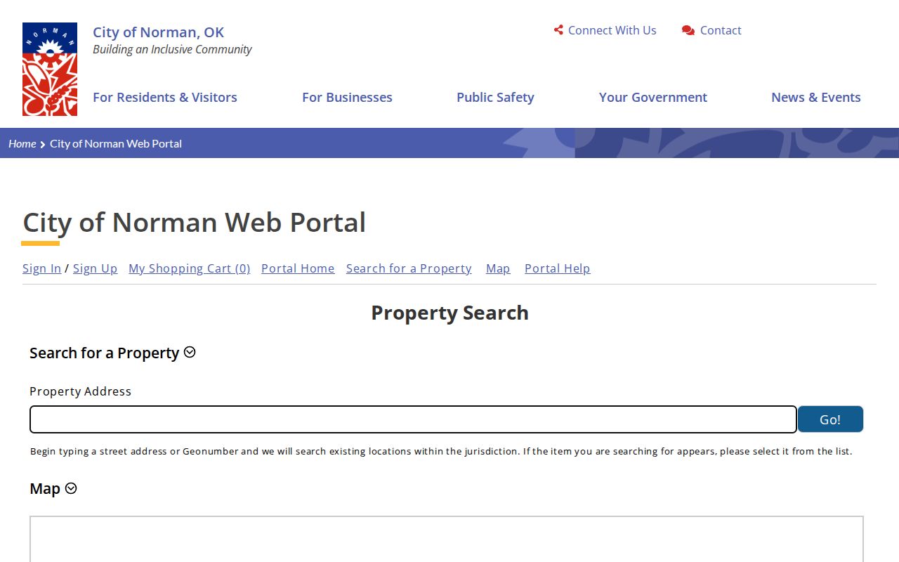
The portal’s Property and Map tabs can preserve a current identifier before a permit or recorded-instrument request is made.
Norman Street Deed Chain
For a recorded transfer, use the Cleveland County Clerk index in Name, Document Information, or Subdivision mode. Name instructions recommend an asterisk after the last name and a first initial plus an asterisk to broaden a search. Document Information is useful when the instrument type and approximate date are known. Subdivision search can combine lot or block with the subdivision.
The portal advises a narrow date range because a broad query can freeze. Its example reports 4,437 mortgage results in a three-month search and suggests no more than a month. Record the mode and range, then capture the instrument number, filing date, type, parties, legal description, and any prior-instrument reference from the actual deed or office copy.
This image documents the Clerk index entry point for the Norman address deed step: Cleveland County recorded-instrument search.
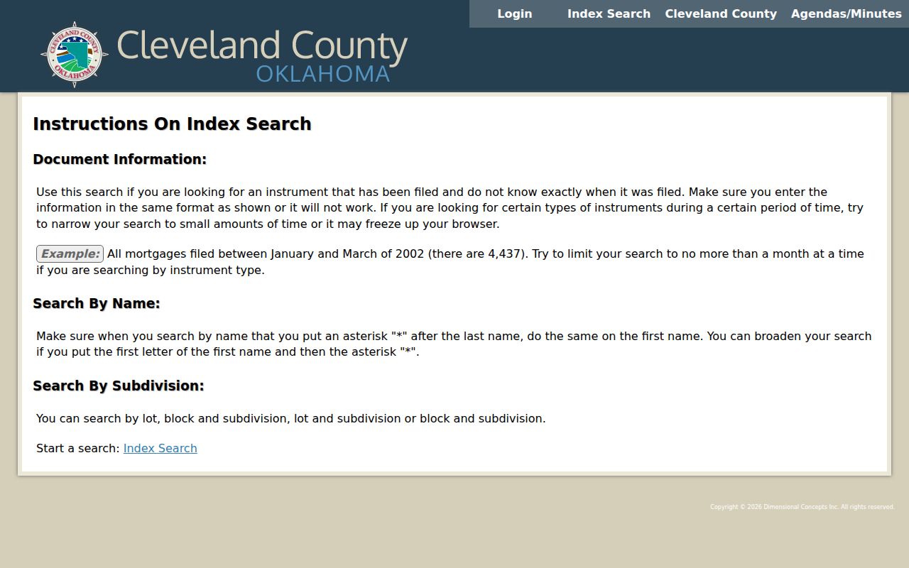
The Clerk says online data and images are reference material; view or request the actual record at 201 S. Jones Avenue, Monday through Friday from 8 a.m. to 5 p.m., or call 405-366-0240. Published online coverage start and end years were not located.
Norman Street Clues Before Modern Parcels
When an address predates the current parcel layout, bring a legal description, subdivision, lot and block to the Oklahoma Historical Society home-history guide. Its Norman-relevant sequence starts with assessor and deed material, then uses directories, newspapers, and Sanborn maps. Search both the address and likely owner names, and spell out numbered streets and directional forms in older sources.
OHS lists Norman Sanborn coverage for 1894, 1896, 1898, 1901, 1904, 1908, 1914, 1918, 1925, and 1944. The Library of Congress has a freely accessible 13-sheet 1914 set. These maps record building and street context at the map date, not a complete list of residents.
Pioneer Library System, OHS, OU Western History Collections, and the Cleveland County Historical Society provide the library and archive channels for an older street question. The historical collections themselves are covered in the Norman Directory Book; use that page after a street search produces a date range or surname.
Norman Street Voter Limits
Oklahoma voter records have a separate access path. The Oklahoma Voter Portal supports sample ballots, polling-place information, absentee requests, and registration updates, and the State says access requires date of birth. Its live field layout was not captured during research, so this page does not claim an address-browse feature for it.
A Cleveland County voter-list request can reflect address and party, but it is controlled by 26 O.S. §7-103.2. The requester must meet the listed Oklahoma resident or citizen, candidate, or recognized-party category, and electronic delivery is free. Protected voters and restricted fields are omitted. Contact the Cleveland County Election Board at 641 E. Robinson, 405-366-0210, for the applicable request route.
Note: A qualified voter list is not a complete or current household directory, and a protected record must never be pursued through another source.
What Norman Street Records Cannot Establish
A public parcel card can point to a taxpayer or owner, but ownership may lag a conveyance and does not prove occupancy. A permit may name a project participant. A map neighbor is an adjacent parcel, not necessarily a social neighbor. Utility-customer lists were not located as a public Norman source, and motor-vehicle address information is restricted under the federal Driver’s Privacy Protection Act.
When an online result is incomplete, use the custodian rather than expanding into unrelated sources. Cleveland County routes property and valuation issues to the Assessor, land instruments to the County Clerk, and voter records to the Election Board through its Open Records Requests page. Oklahoma’s Open Records Act is 51 O.S. §§24A.1-24A.33 and permits requests for existing records, not a newly created street-by-street report.
Use records with care. Norman address research is for lawful personal, family-history, property, or civic purposes. Do not use it to stalk, harass, intimidate, or expose a protected address; Oklahoma’s Address Confidentiality Program protects substitute-address participants.